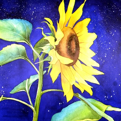
Jane Tomlinson - Artist 🌻⭐️
@JaneTomlinson@mastodonapp.uk
Artist. From Stratford-upon-Avon, now in Oxfordshire, UK. Woke as hell. LOVES: art, art history, birds, cats, cheese, "Detectorists", EU, facts, horses, kindness, maps, marine biology, Mother Nature, rock music, science, stone circles, tea, weather, wildflowers, wildlife LOATHES: bigots, Brexit, guns, gods, liars, timewasting, Tories
mastodonapp.uk
@JaneTomlinson@mastodonapp.uk
·
4d ago
It may be St George's Day today, but more importantly for me, as a girl born and raised in Stratford-upon-Avon, it's #Shakespearesbirthday
I painted this #map of all the plays of #Shakespeare to commemorate the 400th anniversary of his death, which was also 23 April. The man was a genius.
#painting #shakespeareSunday #williamshakespeare #englishTeacher #cartography
24
0
18
Jane Tomlinson - Artist 🌻⭐️
@JaneTomlinson@mastodonapp.uk
Artist. From Stratford-upon-Avon, now in Oxfordshire, UK. Woke as hell. LOVES: art, art history, birds, cats, cheese, "Detectorists", EU, facts, horses, kindness, maps, marine biology, Mother Nature, rock music, science, stone circles, tea, weather, wildflowers, wildlife LOATHES: bigots, Brexit, guns, gods, liars, timewasting, Tories
mastodonapp.uk
@JaneTomlinson@mastodonapp.uk
·
Mar 01, 2026
Dydd Gŵyl Dewi Hapus! Happy #StDavidsDay! Here's a #map I painted of my favourite Welsh county: #Pembrokeshire. 🏴 😍 Have you been?
We try to visit every late Spring. So much history and nature, fab beaches and wildflowers... and also puffins and dolphins!
More info: https://janetomlinson.com/products/pembrokeshire-map-painting
(This painting is available as a poster,, tea towel and #jigsawpuzzle.)
#painting #art #cartography #visitPembrokeshire #wales #stdavids #standingstoneSunday
0
0
0

Project Gutenberg
@gutenberg_org@mastodon.social
Project Gutenberg, founded in 1971, is the oldest producer and distributor of free ebooks. For more information, visit our website at: www.gutenberg.org
mastodon.social
Project Gutenberg
@gutenberg_org@mastodon.social
Project Gutenberg, founded in 1971, is the oldest producer and distributor of free ebooks. For more information, visit our website at: www.gutenberg.org
mastodon.social
@gutenberg_org@mastodon.social
·
Feb 22, 2026
Explore the Medieval Maps of the Ryukyu Kingdom Online
The University of Tokyo has made the Ryukyu Kuniezu available through a high-resolution digital viewer, allowing anyone to explore these vast charts in remarkable detail—right down to individual place names and fine cartographic features.
https://www.medievalists.net/2026/02/medieval-maps-ryukyu-kingdom/
Cartography at PG:
https://www.gutenberg.org/ebooks/search/?query=cartography
#books #cartography
2
0
10

Freemap Slovakia
@FreemapSlovakia@en.osm.town
Freemap Slovakia - NGO and Slovak Local Chapter of OpenStreetMap. Developers of the open-source outdoor map platform https://www.freemap.eu Detailed European outdoor maps, routing, GPX tools, terrain shading. Powered by OpenStreetMap data.
en.osm.town
Freemap Slovakia
@FreemapSlovakia@en.osm.town
Freemap Slovakia - NGO and Slovak Local Chapter of OpenStreetMap. Developers of the open-source outdoor map platform https://www.freemap.eu Detailed European outdoor maps, routing, GPX tools, terrain shading. Powered by OpenStreetMap data.
en.osm.town
@FreemapSlovakia@en.osm.town
·
Feb 18, 2026
Hello OSM community 👋
This is our first post here.
Freemap Slovakia is the Slovak Local Chapter of OpenStreetMap and we develop the open-source outdoor map platform https://www.freemap.eu focused on Europe.
Freemap.eu provides detailed outdoor rendering, terrain shading, route planning, GPX tools, rich POIs and minutely OSM updates.
We will share project news and technical updates here for a broader English-speaking audience.
#OpenStreetMap #OSM #FOSS #Cartography #GIS
11
0
9
You've seen all posts